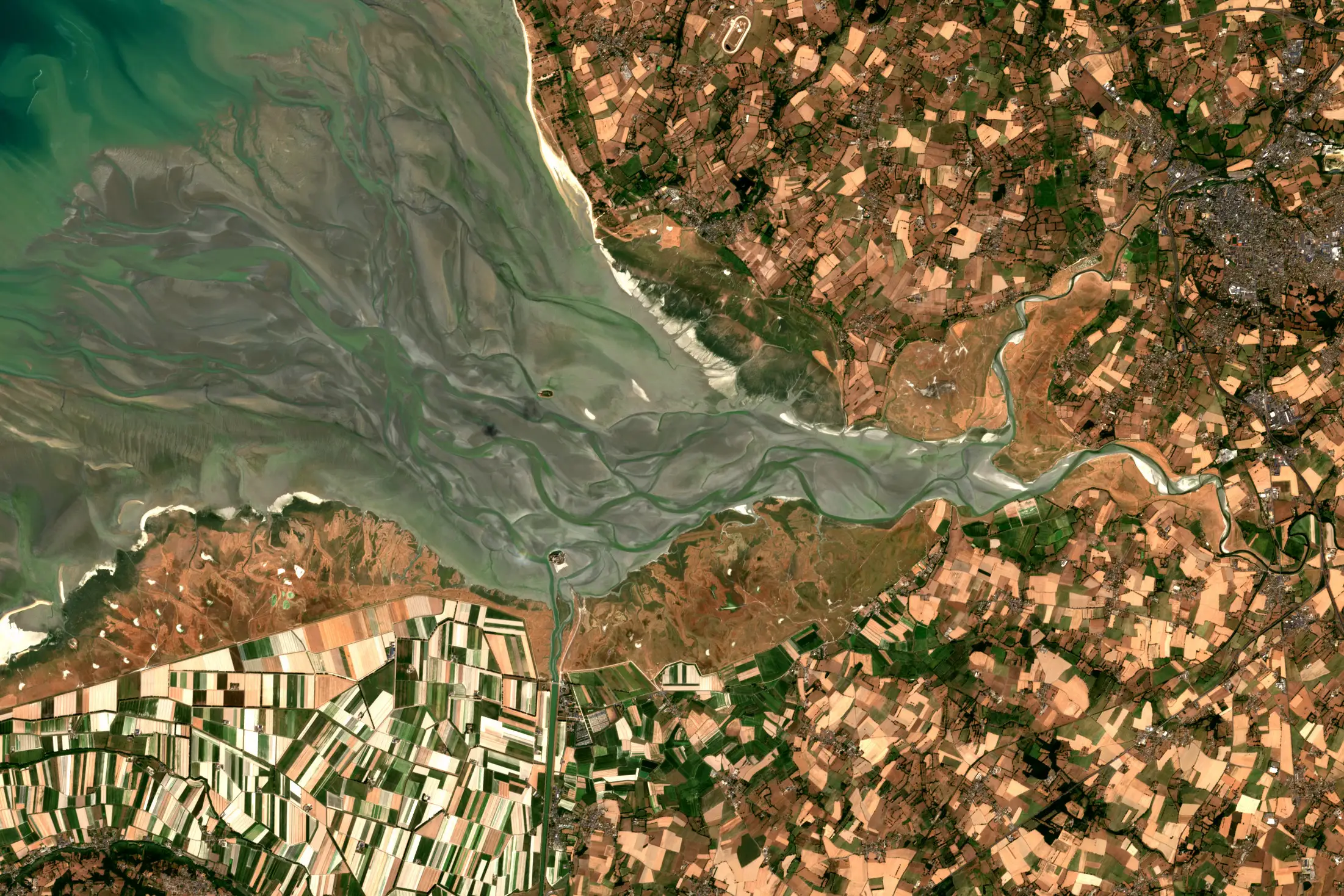
The bay of Mont-Saint-Michel, 12 August 2026
News and articles
Announcements and partnerships, and longer pieces on how Earth observation data gets used.
Articles
How the imagery gets used, sector by sector.
-
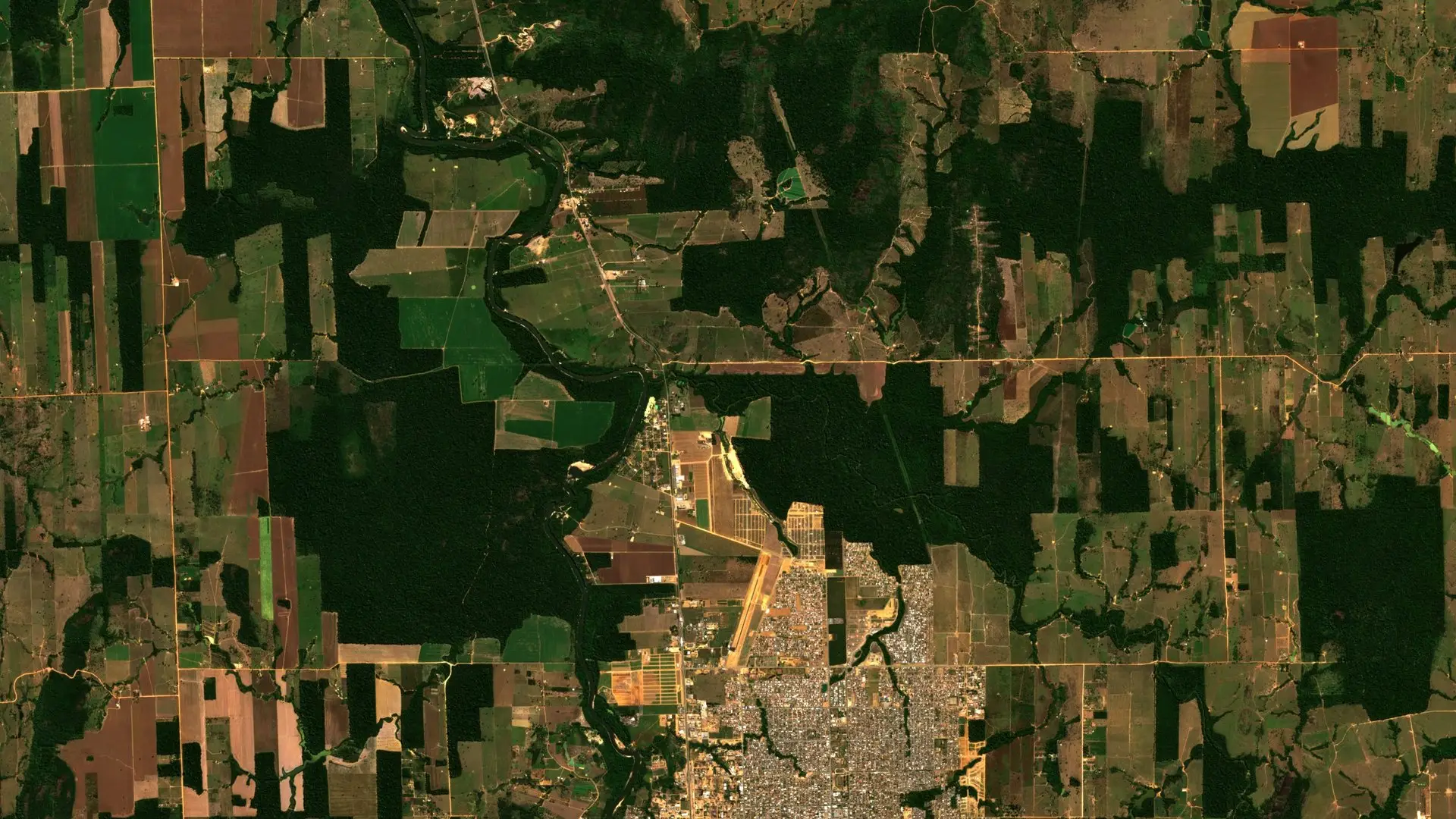 Climate risk intelligence from space Satellite data for sustainable finance and policy.
-
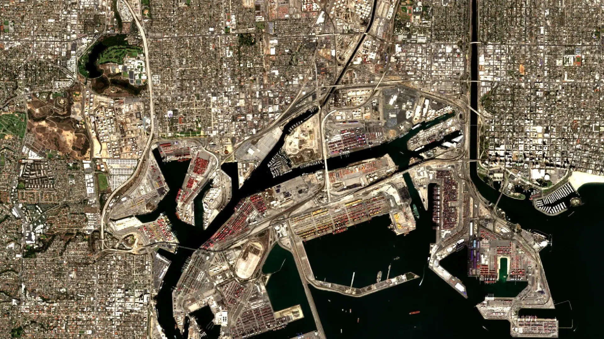 Geospatial intelligence in finance Monitoring economic activity from space.
-
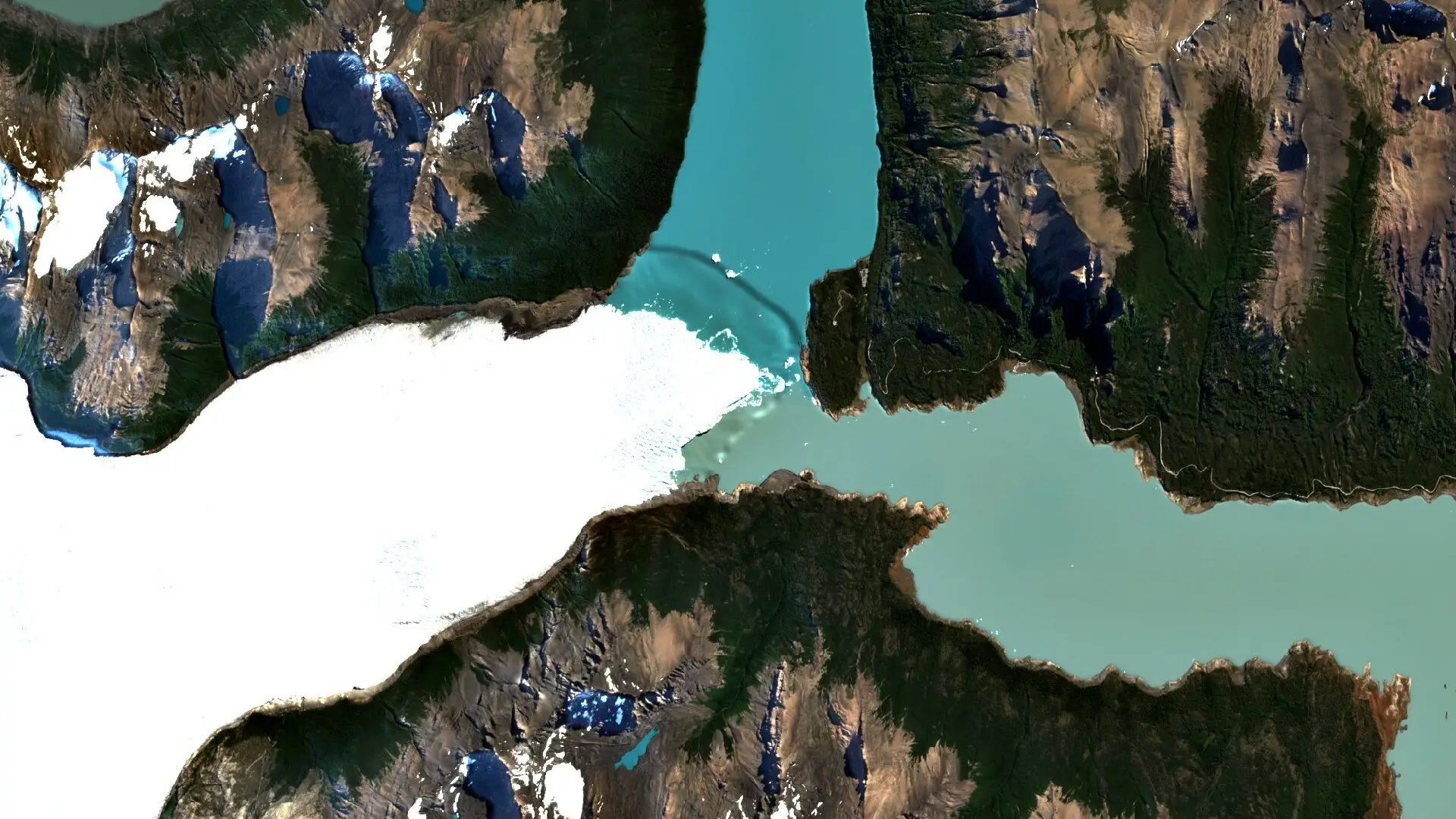 Glacier and water risk Tracking glaciers and the water that flows from them, for insurers and lenders.
-
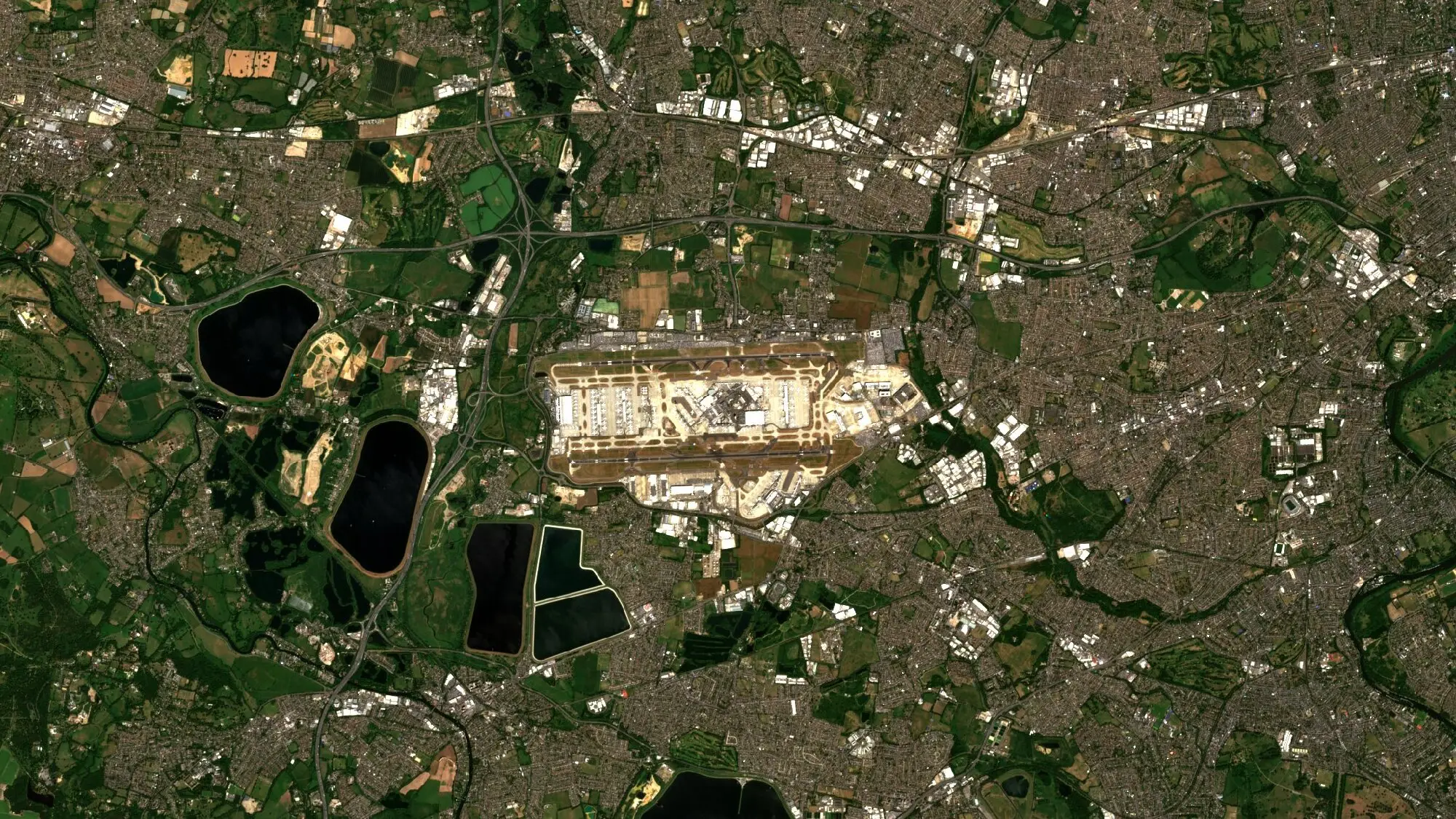 Security and intelligence from orbit Monitoring critical infrastructure, understanding events and checking reports with satellite imagery under auditable licences.
-
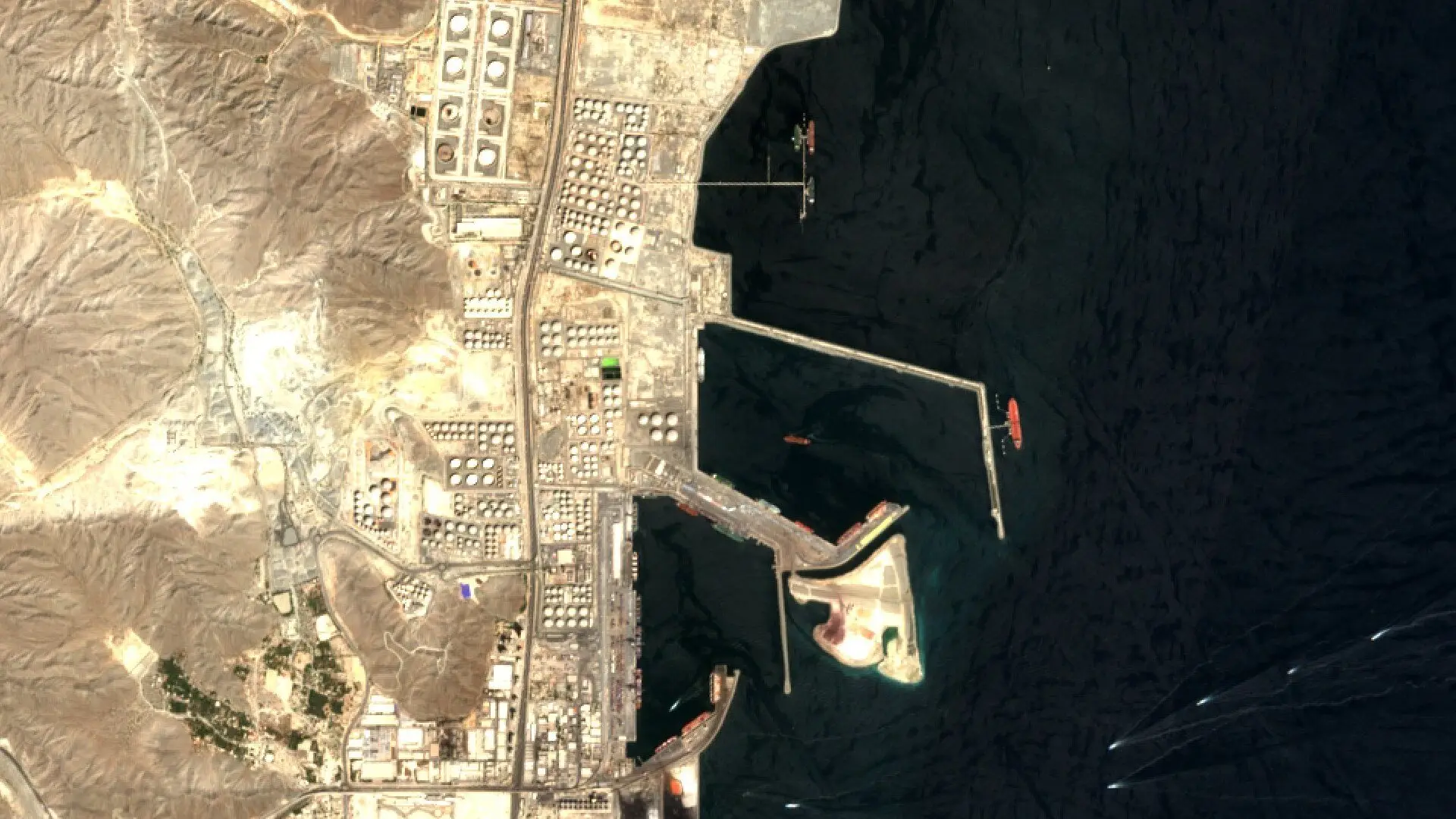 Energy infrastructure from orbit Oil terminal storage and solar park construction, seen from space.
-
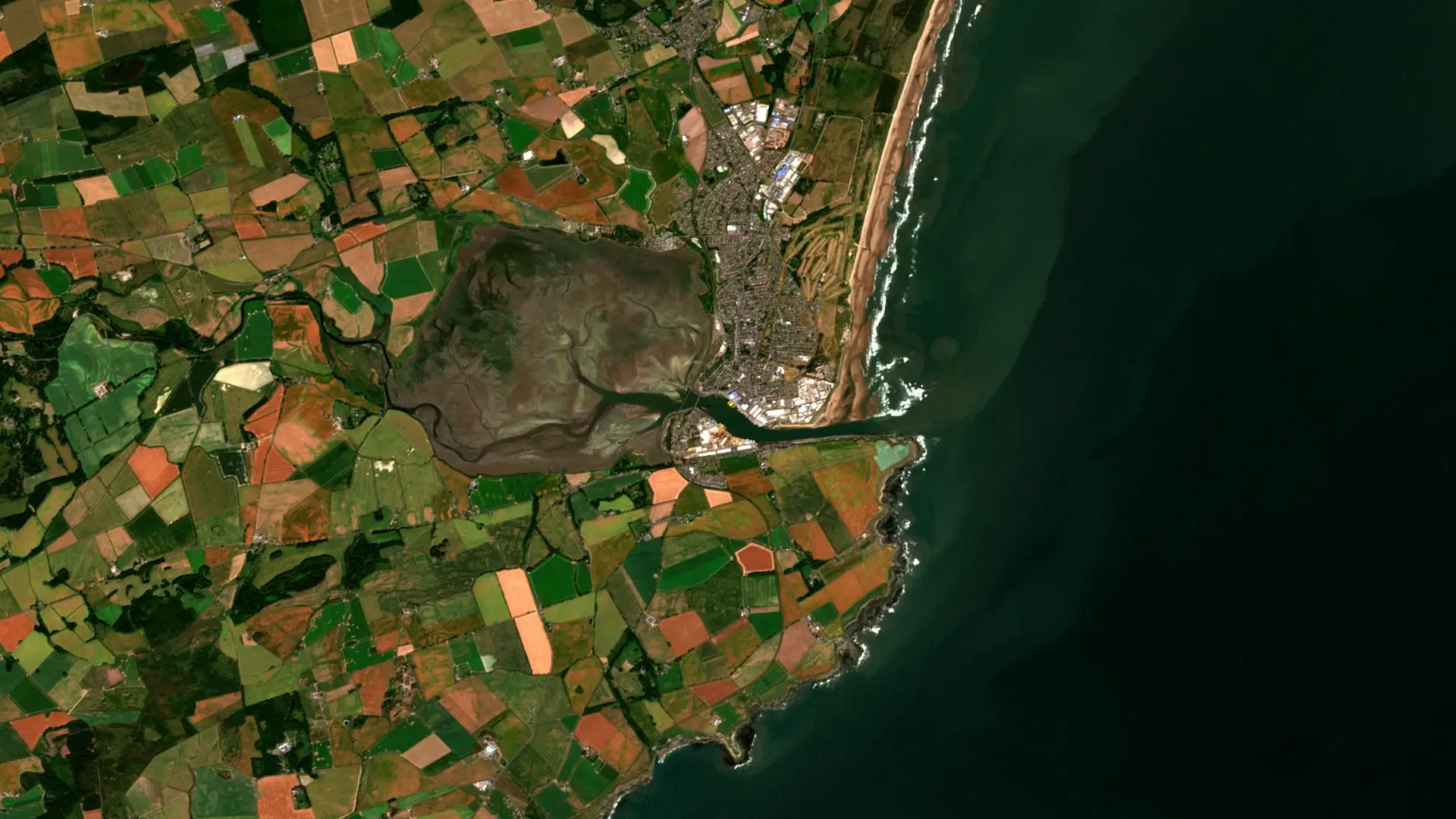 Viridien shipwreck spill detection How geospatial data can help identify hidden oil spills from shipwrecks.
-
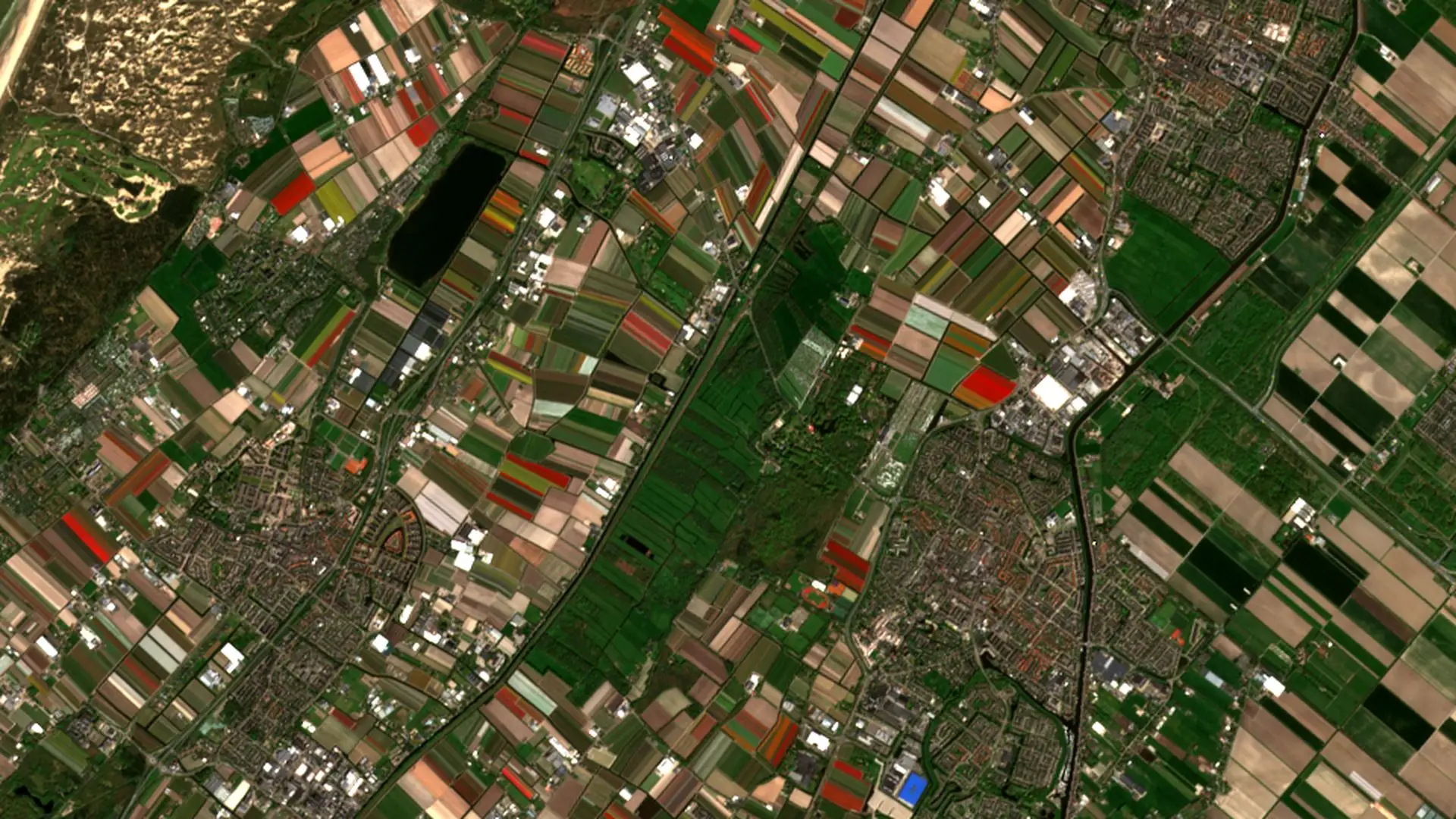
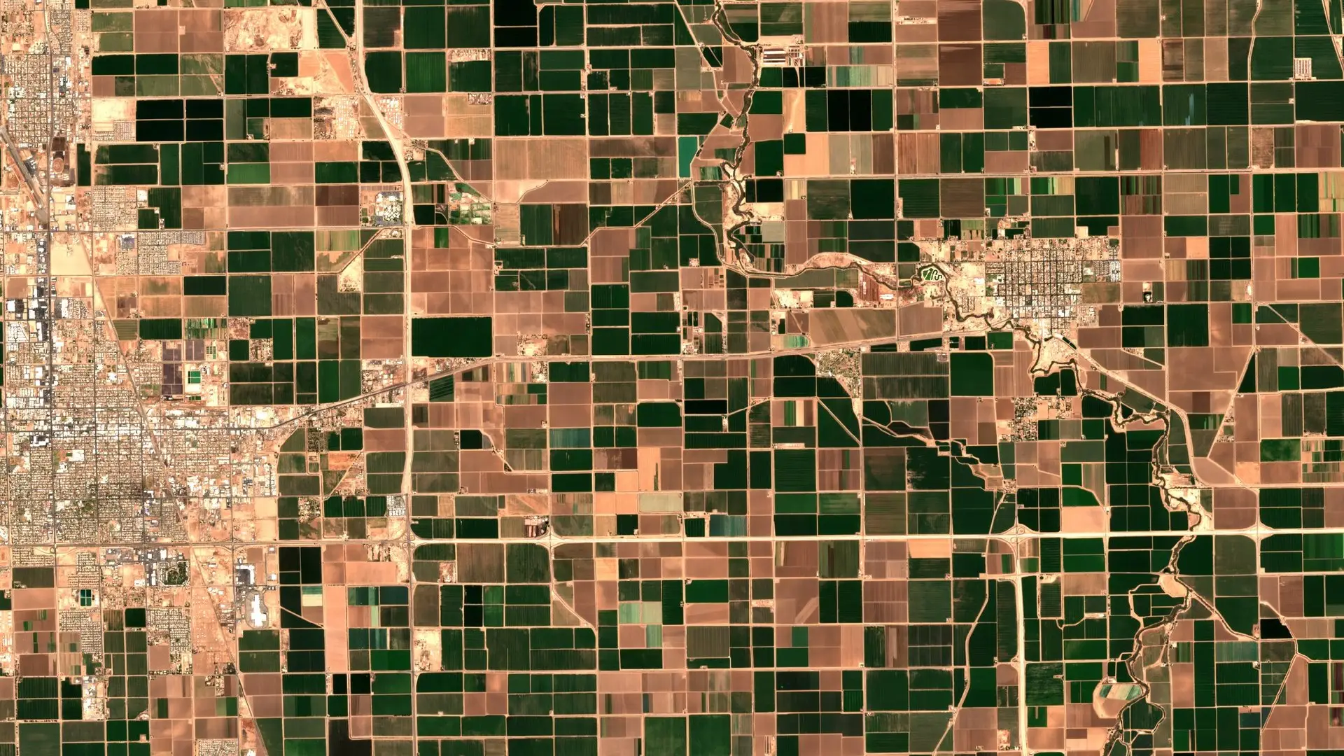 Smart farming with satellite data Enhancing crop monitoring and yield forecasts.
-
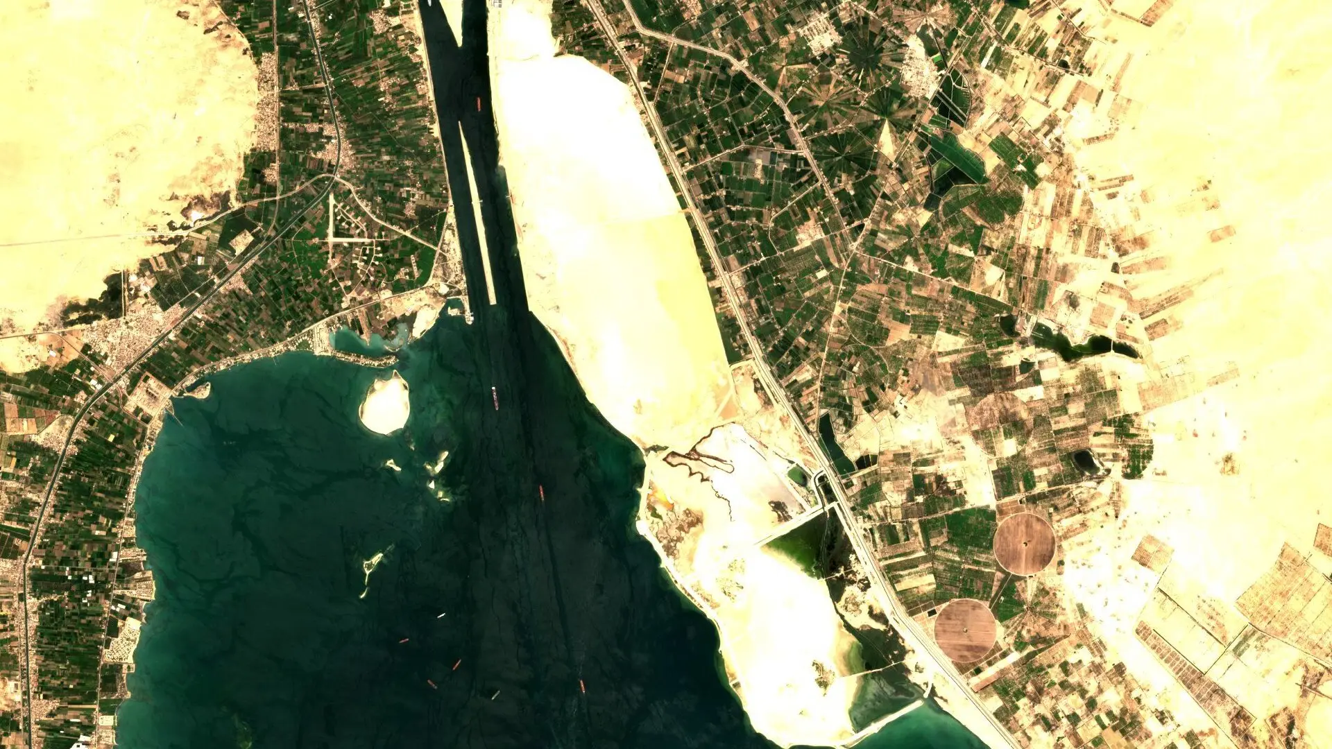 Maritime chokepoints Watching canal traffic and shipping queues from orbit.
-
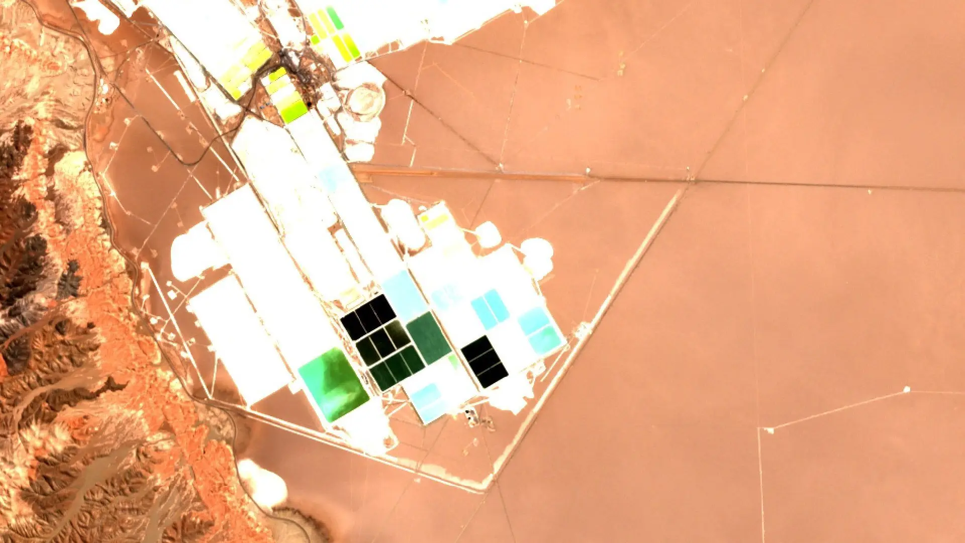 Commodities and mining from orbit How satellite imagery shows supply at lithium brine ponds, gold pits and iron ore mines.