Satellite-based Earth observation has emerged as a valuable asset for financial analysts and investment firms, offering near real-time insights into macroeconomic and market trends. High-resolution optical and radar imagery enable the monitoring of commercial infrastructure, supply chain throughput, and even retail activity. For example, satellite data tracking vehicle density in retail parking, shipping volumes at ports, and factory emissions have become proxies for assessing company performance and broader economic health. Asset managers now use these geospatial signals to inform predictive models and adjust portfolio strategies with higher confidence.
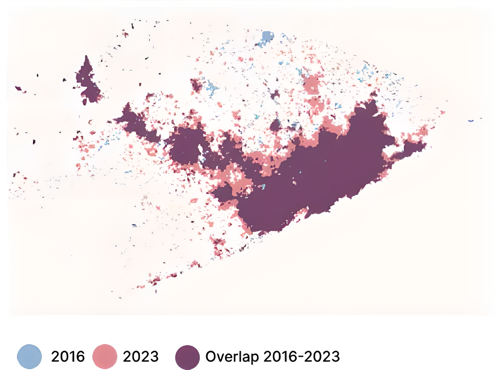
The IMF have used satellite data to help monitor the economy in fragile states, with an example being its application to Somalia. With the extensive geographic coverage and high frequency of data, the IMF were able to follow key economic indicators across Somalia. Shown below (upscaled for readability) is the growth rates in nightlights, indicating that there is a increase in production-related and income increases, suggesting that the economy in Somalia is growing.
