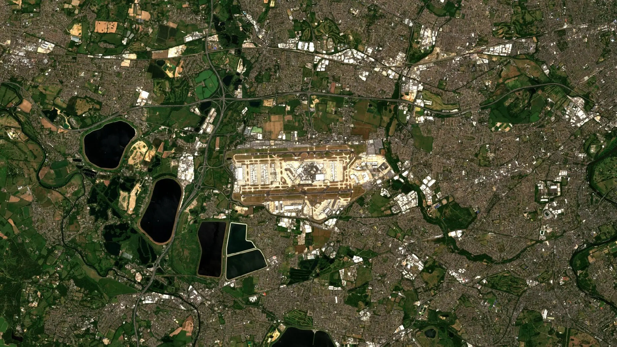
Airports, ports, power stations and rail hubs are large, fixed and hard to watch from the ground in full. Satellite imagery gives security and intelligence teams, critical-infrastructure operators, and the analysts and insurers who support them a regular view of those sites from a position independent of any one party. The scene above shows Heathrow Airport and west London.
Watching sites for change
Repeat imagery makes change visible. A new apron, a cleared area, a changed perimeter or a pattern of construction around a site can be found by comparing images across weeks or months. Free Sentinel-2 imagery, at 10 m [1], shows the layout of a site and its surroundings, as in the scene above. Very-high-resolution optical imagery at 30 cm shows buildings, vehicles and works in detail.
After an incident or disaster
After a flood, fire, earthquake or storm, imagery shows the extent of damage and which roads, bridges and facilities are affected [3]. Sentinel-1 radar sees through cloud and at night, so it can map a flood while the sky is still overcast [2]. Thermal imagery from satellites records heat from the ground and from structures, and can support a view of whether a site is active [4].
Checking reports independently
A claim about an event or a site can be set beside an image of the place taken by a satellite operator with no stake in the outcome. Imagery cannot settle every question. It does give analysts a record that does not depend on the parties involved.
Licences and audit
Government and regulated buyers must show that imagery was used within its licence. Data Sphere enforces each supplier’s licence in code through the platform’s permissions, and records what was used under which terms. Revisit matters too. When one supplier cannot cover a date, others can, and Data Sphere brings Orbview, Vantor and Esper together today, alongside free Copernicus Sentinel data, all through one API and one STAC format.
The imagery for this work can be searched across suppliers on Data Sphere. To see it for a site you follow, write to info@astrodynamic.space.
References
- European Space Agency. S2 Mission. SentiWiki, Copernicus Sentinel Online. https://sentiwiki.copernicus.eu/web/s2-mission
- European Space Agency. Emergency response. ESA. https://www.esa.int/Applications/Observing_the_Earth/Copernicus/Sentinel-1/Emergency_response
- European Space Agency. Emergency response applications - Disaster management. ESA. https://www.esa.int/Applications/Observing_the_Earth/Copernicus/Emergency_response_applications_-_Disaster_management
- European Space Agency. HotSat-1. ESA Earth Online. https://earth.esa.int/eogateway/missions/hotsat-1